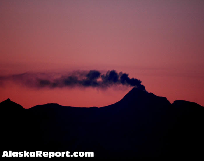
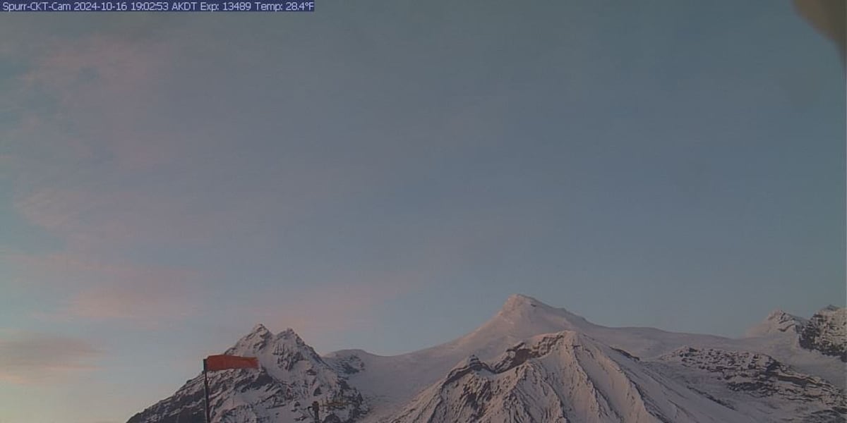
Mt. Spurr, located in the Alaska Range, is one of the most active volcanoes in the United States, known for its explosive eruptions and significant geological features. This article delves into the history, geological characteristics, recent activity, and the potential risks associated with Mt. Spurr’s volcanic nature. Understanding this volcano is invaluable for locals, scientists, and anyone interested in volcanic activity in North America.
Overview of Mt. Spurr
Mt. Spurr is a stratovolcano situated about 80 miles (130 kilometers) southwest of Anchorage, Alaska. It reaches an elevation of 11,070 feet (3,374 meters) and is part of the Aleutian volcanic arc, which is known for its high volcanic activity due to the subduction of the Pacific Plate beneath the North American Plate.
Geological Features of Mt. Spurr

The geological setup of Mt. Spurr is fascinating. Stratovolcanoes like Spurr are characterized by their steep profiles and are built from multiple layers of hardened lava, tephra, and ash. The following features are noteworthy:
- Caldera: Mt. Spurr has a summit caldera that is approximately 3 miles (5 kilometers) wide. This caldera was formed during a significant eruption.
- Lava Domes: The volcano features several lava domes, which are formed from the slow extrusion of viscous lava. These domes can build up and lead to explosive eruptions.
- Tephra Deposits: Eruptions from Mt. Spurr have produced extensive tephra (volcanic ash) deposits that have been recorded in various locations, impacting air quality and aviation.
Historical Eruptions

Mt. Spurr has a history of eruptions that date back thousands of years. However, its most significant activity has been recorded in the 20th century. Key eruptions include:
- 1953 Eruption: The first well-documented eruption, where the volcano produced ash clouds that disrupted air traffic in the region.
- 1992 Eruption: This eruption began in late June and continued until August. It resulted in the ejection of ash up to 30,000 feet into the atmosphere, affecting air travel significantly.
- 2004 Eruption: Marked by increased seismic activity, the 2004 eruption produced low-level ash emissions and confirmed the volcano’s ongoing activity.
Recent Activity and Monitoring

In recent years, Mt. Spurr has shown signs of potential volcanic activity, prompting extensive monitoring by the Alaska Volcano Observatory (AVO). The AVO employs various techniques to assess volcanic threats:
- Seismic Monitoring: Seismic networks detect ground movements that indicate magma movement beneath the surface.
- Satellite Imagery: Remote sensing is used to identify thermal anomalies and changes in the volcano’s morphology.
- Gas Emissions: Monitoring of volcanic gases helps predict potential eruptions and assess the state of the volcano.
In 2021, increased seismic activity at Mt. Spurr prompted scientists to closely monitor the volcano, raising concerns about a potential eruption. The AVO reported that while the volcano was not erupting, the heightened activity indicated that it remained an active geological feature.
Potential Risks and Impacts

Understanding the potential risks associated with Mt. Spurr is crucial, particularly for nearby communities and air travel. Some of the key risks include:
- Ashfall: Eruptions can produce significant ash clouds, which pose dangers to aviation, respiratory health, and agriculture.
- Lava Flows: While less common, lava flows can threaten infrastructure, especially if they occur during an eruption.
- Volcanic Gases: Emissions of sulfur dioxide and carbon dioxide can lead to acid rain and contribute to climate change.
Air travel remains one of the most affected sectors during volcanic events. For instance, the 1992 eruption caused disruptions for days, affecting thousands of passengers and leading to significant economic losses.
Community Preparedness and Response
Given the potential risks associated with Mt. Spurr, local communities and authorities have developed preparedness plans to respond to volcanic activity. Key strategies include:
- Evacuation Plans: Local governments have established evacuation routes and procedures in the event of an eruption.
- Public Education: Awareness campaigns educate residents about the risks of volcanic eruptions and proper responses.
- Emergency Services Training: First responders receive training on how to handle volcanic emergencies, including ashfall and evacuation procedures.
Community engagement is vital in ensuring that residents know the risks and can effectively respond to any volcanic activity. Drills and informational sessions help maintain readiness.
Mt. Spurr stands as a powerful reminder of nature’s forces and the ongoing volcanic activity in the Aleutian Islands. With a rich history of eruptions and continued monitoring by scientific agencies, understanding its geology, associated risks, and local preparedness strategies is essential. As we advance in monitoring technologies and disaster response strategies, the balance between appreciating the beauty of these natural wonders and ensuring community safety remains a top priority.
In summary, Mt. Spurr is not just a geographical feature; it is a dynamic element of the Alaskan landscape, shaping both the environment and the lives of those who inhabit its vicinity. Awareness and preparedness are key to managing the challenges posed by this active volcano.


